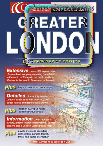
Greater London Street Atlas (Collins street atlas) - Hardcover

1:10,000 Central area, 1:20,000 Main area, 1:50,000 Urban maps, 1:162,600 Route Planning maps. Incredibly detailed street level mapping, with over 40 categories of information, covering 1660 square miles in and around London.
MAIN FEATURES
This is the ultimate street atlas of London. It contains a huge amount of detail and exhibits a high level of clarity, with land use clearly colour coded to aid use. This revised edition includes thousands of updates and has involved extensive and exhaustive research on the ground.
Durable hardback binding in A4 format
� Area of over 4,300 km� (1660 sq miles) covered by main street mapping
� Mapping at four main scales ranging from route planning maps to large scale central area maps
INCLUDES
� Theatres, cinemas, shopping and underground maps
� Full index to street names and places of interest
� M25 mileage chart
� Colour coded roads, buildings and land use
AREA OF COVERAGE
Extends from Welwyn Garden City in the north to Gatwick Airport in the south and from Windsor in the west to Gravesend in the east.
WHO THE PRODUCT IS OF INTEREST TO
This is the definitive reference atlas for London and the surrounding area presented in a durable hardback binding.
OTHER PRODUCTS IN THE SERIES
This product can also be purchased as a paperback edition:
0 00 713345 6.
"synopsis" may belong to another edition of this title.
From the Back Cover:
Synopsis:
MAIN FEATURES
� Thousands of updates in this fully revised edition
� Largest area of coverage of any London Street Atlas
� Durable hardback binding in A4 format
� Area of over 4,300 km5 covered by main street mapping
� Mapping at four main scales ranging from route planning maps to large scale central area maps
INCLUDES
� Theatres, cinemas, shopping and underground maps
� Red routes map
� Full index to street names and places of interest
� M25 mileage chart
� Colour coded roads, buildings and land use
AREA OF COVERAGE
� Extends from Welwyn Garden City in the north to Gatwick Airport in the south and from Windsor in the west to Gravesend in the east.
WHO THE PRODUCT IS AIMED AT
� This is the definitive reference atlas for London and the surrounding area presented in a durable hardback binding.
This detailed street level mapping covers 1660 square miles in and around London. It contains a huge amount of detail with land use clearly colour coded to aid use. The map includes: theatres, cinemas, shopping and underground maps with a full index to street names and places of interest, a M25 mileage chart and colour coded roads, buildings and land use. The coverage extends from Welwyn Garden City in the north to Gatwick Airport in the south and from Windsor in the west to Gravesend in the east.
"About this title" may belong to another edition of this title.
- PublisherCollins
- Publication date2002
- ISBN 10 0007133464
- ISBN 13 9780007133468
- BindingHardcover
- Number of pages432
(No Available Copies)
Search Books: Create a WantIf you know the book but cannot find it on AbeBooks, we can automatically search for it on your behalf as new inventory is added. If it is added to AbeBooks by one of our member booksellers, we will notify you!
Create a Want