Order Total (1 Item Items):
Shipping Destination:

Maps Grange Edinburgh (2 results)
Skip to main search results
Search filters
Product Type
- All Product Types
- Books (2)
- Magazines & Periodicals (No further results match this refinement)
- Comics (No further results match this refinement)
- Sheet Music (No further results match this refinement)
- Art, Prints & Posters (No further results match this refinement)
- Photographs (No further results match this refinement)
- Maps (No further results match this refinement)
- Manuscripts & Paper Collectibles (No further results match this refinement)
Condition Learn more
- New (1)
- As New, Fine or Near Fine (No further results match this refinement)
- Very Good or Good (1)
- Fair or Poor (No further results match this refinement)
- As Described (No further results match this refinement)
Binding
- All Bindings
- Hardcover (1)
- Softcover (No further results match this refinement)
Collectible Attributes
- First Edition (No further results match this refinement)
- Signed (No further results match this refinement)
- Dust Jacket (No further results match this refinement)
- Seller-Supplied Images (1)
- Not Print on Demand (2)
Language (1)
Free Shipping
- Free Shipping to U.S.A. (No further results match this refinement)
Seller Location
Seller Rating
-

Edinburgh Newington & Grange 1905: Edinburghshire Sheet 3.12b (Old Ordnance Survey Maps of Edinburgh)
Seller: GENERATIONS GONE BY, Manchester, United Kingdom
Seller rating 5 out of 5 stars

No Binding. Condition: New. No Jacket. Here are the details of maps for Edinburgh (SE): Edinburghshire Sheet 3.12a Edinburgh (Newington & Grange) 1896 - published 1983; intro by Barbara & R.J.Morris. ISBN.978-0-90755-455-4 Edinburghshire Sheet 3.12b Edinburgh (Newington & Grange) 1905 - published 2023; intro by Alan Godfrey. ISBN.978-1-78721-716-4 We have published two versions of this map, showing how the area changed across the years. They cover a busy part of South Side Edinburgh, with coverage stretching from Mansion House Road eastward to Prestonfield, and from George Square and Arthur's Seat southward to St Alban's Road and Mayfield church. Features on the map include St Leonard's area, Newington area, Mayfield area, Prestonfield, Arthur's Seat, NBR St Leonard's Branch, St Leonard's station and coal depot, Grange area, Sciennes area, East Meadow Park, Parkside Works, tramways, NBR Suburban line with Newington station, Buccleugh Place, St Peter's church, Newington Cemetery etc. We include extracts from early street directories on the reverse. The map links up with Edinburgh Sheets 3.08 Holyrood to the north, 3.11 Merchiston to the west, 3.16 Liberton Dams to the south.
-
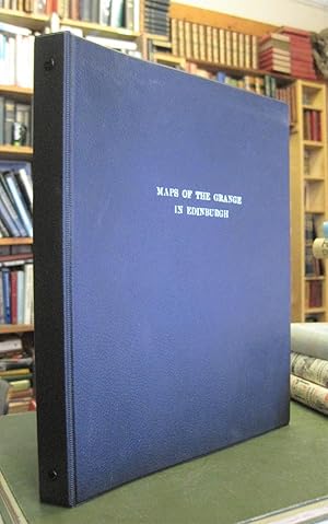
Maps of The Grange in Edinburgh
Language: English
Published by The Grange Association, Edinburgh, 1999
Ring binder folder. Condition: Very Good Plus. Third Edition. 1999. [iii], PLUS sheets of maps/plans/plates]. "This is the third edition of the book of maps of The Grange, containing the eighteen plates included in 1991, with two plates added on Grange House (Plates 19 and 20)." Ring binder folder with card covers. Leatherette binder in excellent condition. The contents are secure and the pages and the plates are clean. Content contained within clear plastic pockets. No inscriptions.