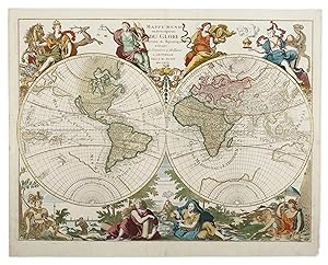
Antique Print and Map Room is the largest specialist dealer of rare antique maps and prints in Australia. Established in 1979, our gallery is located in Ultimo, near Sydney's city centre (5 minute walk from the Powerhouse Museum). Our extensive stock is available for purchase online or in our gallery.
Our collection includes items from almost every geographical area and spans historical periods from the 15th to the 20th centuries. We have a particular focus on maps and prints charting the early discoveries and cultural exchanges of the East Indies, Pacific and Australia. This includes one of the largest and compelling collections of natural history in Australia.
We stock only the highest quality material and guarantee the items are described as in the condition reports on our website. Since our founding, we have become a trusted source of prized historical material for collectors and prestigious national and international institutions and several important private collections.
We are members of the following professional associations: AAADA, ANZAAB, ILAB, CINOA.
Visit Seller's Storefront
Association Member
Members of these associations are committed to maintaining the highest standards. They vouch for the authenticity of all items offered for sale. They provide expert and detailed descriptions, disclose all significant defects and/or restorations, provide clear and accurate pricing, and operate with fairness and honesty during the purchase experience.
Seller's business information
Antique Print & Map Room
Shop 189, 392 Jones Street, Ultimo, NSW, 2007, Australia
Terms of Sale:
Shipping Terms:
![]()
