Items related to Salisbury Street Atlas
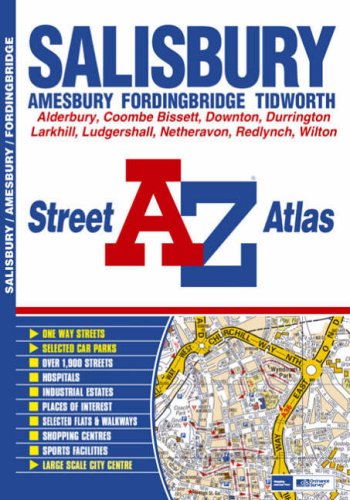

This street atlas of Salisbury, Amesbury, Fordingbridge and Tidworth contains 41 pages of coloured street mapping.
The Salisbury coverage extends to include:
- Wilton, Old Sarum, Porton, Laverstock, Pitton, Coombe Bissett, Nunton, Alderbury and Whaddon. Amesbury coverage includes Netheravon, Larkhill, Durrington, Bulford Camp and Stonehenge.
- A large scale city centre map of Salisbury.
The Fordingbridge coverage includes:
- Sandleheath and Ashford.
The Tidworth coverage includes:
- Ludgershall and Perham Down.
There is also separate coverage of Downton, Redlynch and Woodfalls.
Postcode districts and one-way streets are featured on the street mapping.
The index section lists streets, selected flats, walkways and places of interest, place, area and station names, hospitals and hospices covered by this atlas.
"synopsis" may belong to another edition of this title.
- PublisherGeographers A-Z Map Company
- Publication date2007
- ISBN 10 1843485443
- ISBN 13 9781843485445
- BindingPaperback
- Edition number1
- Number of pages52
Top Search Results from the AbeBooks Marketplace

Stock Image
Salisbury Street Atlas
Published by
HarperCollins Publishers, United Kingdom
(2007)
ISBN 10: 1843485443
ISBN 13: 9781843485445
Used
Paperback
Quantity: 1
Seller:
Rating
Book Description Paperback. Condition: Fair. A readable copy of the book which may include some defects such as highlighting and notes. Cover and pages may be creased and show discolouration. Seller Inventory # GOR003847813
Buy Used
� 13.20
Convert currency