Items related to Mapping in Michigan & the Great Lakes Region
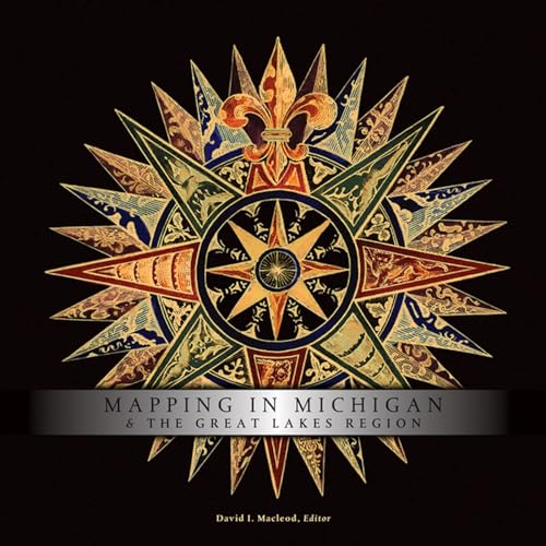
Mapping in Michigan & the Great Lakes Region - Hardcover

 
9780870138072: Mapping in Michigan & the Great Lakes Region
View all copies of this ISBN edition:


An illustrated chapter on the renowned Michigan map expert Louis Karpinski opens this volume, following a comparative introduction by the noted cartographic historian David Buisseret. Twelve chapters tell particular stories. Often these narratives extend well beyond the limits of today's state of Michigan. Ameican Indian mapmakers sought to give directions and convey cosmological meanings and political relationships; only gradually did they adopt the geometric framing and uniformity of European maps, which reflected a different set of cultural attitudes. Would-be colonial governors mapped to promote their dreams. Boundary commissioners surveyed and mapped to settle contested claims and lay the foundations for peace along the U.S.-Canadian border. On the Canadian side, surveyors drew maps to build up the new British colony against American influences and encroachments. Mapmakers were also ambitious entrepreneurs, peddling illustrated county atlases to proud farm owners, bird's-eye views to show off towns, and plat and insurance maps to aid property development.
In describing how people produced and used maps, contributors tell a larger story of one region's peoples and culturesand of a nation's zeal for exploration."

"synopsis" may belong to another edition of this title.

Synopsis:
Why do people make maps? And what do they hope their maps will accomplish? This informative book assembles leading scholars in the history of cartography to address these questions for the complex of peninsulas and freshwater seas that lie at the heart of the North American continent. In their answers, contributors shine light on their subject in ways that will illuminate it for fellow scholars, as well as for general readers who are interested in maps and mapmaking. As these essays confirm, the history of mapping this region reveals the story of how Europeans appropriated and settled these lands, of social and political negotiations and conflicts, of promoters' varied schemes, and of Americans' growing awareness of this region's complicated mixture of lands and waters. The volume is copiously illustrated with reproductions of historic maps spanning four centuries.Following a comparative introduction by the noted cartographic historian David Buisseret, twelve chapters tell more particular stories. Often these narratives extend well beyond the limits of today's state of Michigan.

Native American mapmakers sought to give directions and convey cosmological meanings and political relationships; only gradually did they adopt the geometric framing and uniformity of European maps, which reflected a different set of cultural attitudes. Would-be colonial governors mapped to promote their dreams. Boundary commissioners surveyed and mapped to settle contested claims and lay the foundations for peace along the U.S.-Canadian border. On the Canadian side, surveyors drew maps to build up the new British colony against American influences and encroachments. Map-makers were also ambitious entrepreneurs, peddling illustrated county atlases to proud farm owners, bird's-eye views to show off towns, and plat and insurance maps to aid property development.In describing how people produced and used maps, contributors tell a larger story of one region's peoples and cultures - and of a nation's zeal for exploration.
About the Author:
David I. MacLeod is Professor of History at Central Michigan University.

"About this title" may belong to another edition of this title.

Top Search Results from the AbeBooks Marketplace

Stock Image

Macleod, David I.
ISBN 10: 0870138073 ISBN 13: 9780870138072
New Hardcover Quantity: 1
Seller:
Front Cover Books
(Denver, CO, U.S.A.)

Book Description Condition: new. Seller Inventory # FrontCover0870138073

More information about this seller | Contact seller

Buy New
£ 45.36
Convert currency

Add to Basket

Shipping: £ 3.45
Within U.S.A.
Destination, rates & speeds
Stock Image

Macleod, David I.
ISBN 10: 0870138073 ISBN 13: 9780870138072
New Hardcover Quantity: 1
Seller:
GoldBooks
(Denver, CO, U.S.A.)

Book Description Hardcover. Condition: new. New Copy. Customer Service Guaranteed. Seller Inventory # think0870138073

More information about this seller | Contact seller

Buy New
£ 57.63
Convert currency

Add to Basket

Shipping: £ 3.41
Within U.S.A.
Destination, rates & speeds