Items related to Premier Map of Manchester (A-Z Street Maps & Atlases...
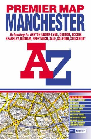

This coloured foldout street map of Manchester and Salford covers an area extending to Kearsley, Whitefield, Heaton Park, Chadderton, Oldham, Ashton-Under-Lyne, Denton, Bredbury, Stockport, Northenden, Broadheath, Carrington, Calderbank, Worsley and Walkden. Also included is an inset map of Manchester International Airport. The index is in a booklet attached to the inside of the cover and lists streets, selected flats, walkways and places of interest, area and place names, hospitals and hospices.
"synopsis" may belong to another edition of this title.
- PublisherGeographers' A-Z Map Co Ltd
- Publication date2002
- ISBN 10 0850399947
- ISBN 13 9780850399943
- BindingPaperback
- Edition number2
Buy New
Learn more about this copy
� 101
Shipping:
� 25
From United Kingdom to U.S.A.
Top Search Results from the AbeBooks Marketplace
Stock Image
A-Z Street Map of Manchester
Published by
Geographers* A-Z Map Company
(2002)
ISBN 10: 0850399947
ISBN 13: 9780850399943
New
paperback
Quantity: 1
Seller:
Rating
Book Description paperback. Condition: New. New. book. Seller Inventory # ERICA79108503999476
Buy New
� 101
Convert currency