Items related to Collins First Atlas: Interactive Version (Collins Primary...

A simple, clear colourful first atlas on DVD ROM designed for use on digital Whiteboards. Introduces children aged 4-7 to basic geographical vocabulary.
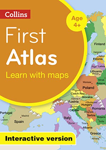
Collins First Atlas is presented on DVD for use on digital Whiteboards. It provides a 32 page introduction to mapping of the UK, Europe and the rest of world.
Introduces the younger pupil to photographs and mapping of local area and from this beginning the atlas gradually takes the mapping through regional, national, continental and world mapping. Selective map labels highlight only countries or features which will be easily identified as the mapping becomes more complex.
Maps are enhanced with pop-ups providing factual information presented as images, photographs and graphics.
The package also includes interactive activities which are related to each map. These are fun activities for the pupil and help teachers recap, check understanding and move on.
Teachers notes and editable worksheets are contained within the package.
2015 overall winner in the non book category of the Scottish Association of Geography Teachers Awards, presented at their annual conference in Perth.
"synopsis" may belong to another edition of this title.
About the Author:
Explore the world through accurate and up-to-date mapping.
"About this title" may belong to another edition of this title.
- PublisherCollins
- Publication date2015
- ISBN 10 0008117438
- ISBN 13 9780008117436
- BindingDVD-ROM
- Edition number1
(No Available Copies)
Search Books: Create a WantIf you know the book but cannot find it on AbeBooks, we can automatically search for it on your behalf as new inventory is added. If it is added to AbeBooks by one of our member booksellers, we will notify you!
Create a Want