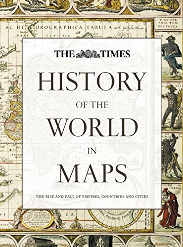
Items related to History of the World in Maps: The rise and fall of...

From Babylonian tablets to Google Maps, the world has evolved rapidly, along with the ways in which we see it. In this time, cartography has not only kept pace with these changes, but has often driven them. In this beautiful book, over 70 maps give a visual representation of the history of the world.
Every map tells a story and this book tells the incredible history of our world through maps, and includes many famous examples of cartography, along with some that deserve to be better known. See countries and cities come and go, empires rise and fall, significant geographical discoveries, and key historical events unfold.
Key maps shown include:
� Babylonian clay tablets, c.2300 BC and c.600 BC – some of the world’s oldest surviving maps.
� Waldseem�ller World Map, 1507 – the first map to use the name ‘America’ for the New World.
� Waghenaer chart, 1584 – a forerunner to modern nautical charts.
� Abel Buell map of North America, 1782 – the first map of the newly independent United States that was produced in America by an American.
� The Scramble for Africa, 1852/1898 – maps of new colonies being created.
� Ypres, 1918 – map of the aftermath of the First World War.
� Cuban Missile Crisis, 1962 – map used by President John F. Kennedy during the crisis.
"synopsis" may belong to another edition of this title.
Review:
About the Author:
“recommend its purchase and will be recommending it to my
university library” The Cartographic Journal
The world's most prestigious and authoritative maps and atlases.
"About this title" may belong to another edition of this title.
- PublisherTimes Books
- Publication date2014
- ISBN 10 0007588240
- ISBN 13 9780007588244
- BindingHardcover
- Number of pages256
- Rating
Buy New
Learn more about this copy
� 100.26
Shipping:
FREE
Within U.S.A.
Top Search Results from the AbeBooks Marketplace
Stock Image
History of the World in Maps: The Rise and Fall of Empires, Countries and Cities
Published by
HarperCollins Publishers Ltd
(2014)
ISBN 10: 0007588240
ISBN 13: 9780007588244
New
Hardcover
Quantity: 1
Seller:
Rating
Book Description Condition: New. Book is in NEW condition. Seller Inventory # 0007588240-2-1
Buy New
� 100.26
Convert currency
Stock Image
History of the World in Maps: The Rise and Fall of Empires, Countries and Cities
Published by
HarperCollins Publishers Ltd
(2014)
ISBN 10: 0007588240
ISBN 13: 9780007588244
New
Hardcover
Quantity: 1
Seller:
Rating
Book Description Condition: New. New! This book is in the same immaculate condition as when it was published. Seller Inventory # 353-0007588240-new
Buy New
� 100.38
Convert currency