Items related to Ireland Road Map
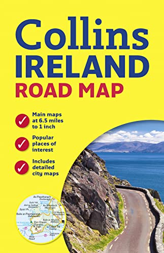

Handy colour map of the whole of Ireland packed with detail and featuring clear and detailed mapping at a scale of 6.5 miles to 1 inch, ideal for easy journey planning. An essential purchase for motorists and perfect for both residents and visitors to Ireland.
FEATURES:
� All motorways, classified roads and many minor roads.
� Places of tourist interest shown on the mapping.
� Indexed street maps of 11 cities and towns – Dublin, Belfast, Cork, Limerick, Londonderry (Derry), Galway, Bangor, Waterford, Dun Laoghaire, Drogheda and Killarney.
� Speed enforcement zones and fixed location speed cameras clearly shown.
� Includes Blue Flag & Green Coast beaches.
� Distance chart; distances marked on the roads in miles and kilometres.
� Attractive layer colours showing land height.
"synopsis" may belong to another edition of this title.
About the Author:
Explore the world through accurate and up-to-date mapping.
"About this title" may belong to another edition of this title.
- PublisherCollins
- Publication date2015
- ISBN 10 0007543980
- ISBN 13 9780007543984
- BindingMap
- Number of pages1
Top Search Results from the AbeBooks Marketplace

Stock Image
Ireland Road Map
Published by
HarperCollins UK
(2015)
ISBN 10: 0007543980
ISBN 13: 9780007543984
Used
Paperback
Quantity: 1
Seller:
Rating
Book Description Paperback. Condition: Very Good. The book has been read, but is in excellent condition. Pages are intact and not marred by notes or highlighting. The spine remains undamaged. Seller Inventory # GOR007429887
Buy Used
� 6.80
Convert currency
Stock Image
Ireland Road Map
Seller:
Rating
Book Description Map. Condition: Good. All orders are dispatched the following working day from our UK warehouse. Established in 2004, we have over 500,000 books in stock. No quibble refund if not completely satisfied. Seller Inventory # mon0006223239
Buy Used
� 6.79
Convert currency