Items related to 2014 Collins Map of Scotland
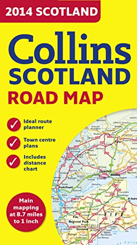

Full colour map of Scotland at 8.7 miles to 1 inch (1:550,000) with clear, detailed road network and administrative areas shown in colour. The map covers the whole of Scotland and part of Northern England conveniently on one side, and is ideal for reference or route planning.
The map shows the road network in detail for easy route planning. It is ideal for business users also, with its political colouring of local council areas.
MAIN FEATURES
� Fully updated for 2014.
� Administrative areas shown in colour.
� Clear, detailed road network and road distances.
� Town and city names, rivers, railway lines and canals are clearly shown.
� 7 city/town centre street plans showing places of interest.
� Index to place names.
� Mileage chart.
� Car ferry routes.
� Key in English, French and German.
"synopsis" may belong to another edition of this title.
About the Author:
Explore the world through accurate and up-to-date mapping.
"About this title" may belong to another edition of this title.
- PublisherCollins
- Publication date2013
- ISBN 10 0007497148
- ISBN 13 9780007497140
- BindingMap
- Rating
Top Search Results from the AbeBooks Marketplace

Stock Image
2014 Collins Scotland Road Map
Seller:
Rating
Book Description map. Condition: Good. Seller Inventory # mon0003106328
Buy Used
� 1.65
Convert currency
Stock Image
2014 Collins Scotland Road Map
Seller:
Rating
Book Description Condition: Good. SHIPS FROM USA. Used books have different signs of use and do not include supplemental materials such as CDs, Dvds, Access Codes, charts or any other extra material. All used books might have various degrees of writing, highliting and wear and tear and possibly be an ex-library with the usual stickers and stamps. Dust Jackets are not guaranteed and when still present, they will have various degrees of tear and damage. All images are Stock Photos, not of the actual item. book. Seller Inventory # 10-0007497148-G
Buy Used
� 13.21
Convert currency