Items related to 2013 Collins Essential Road Atlas Britain

This A4 format road atlas with popular lie-flat spiral binding features clear, detailed road mapping, at a scale of 3.2 miles to 1 inch, with land height shown by attractive layer colouring. There are also a wide range of urban area approach maps at a larger scale as well as fully indexed street maps of 64 town centres.
This handy A4 sized spiral road atlas covers the whole of Britain at a selection of useful scales. Its size makes it ideal for use in the car as well as the home or office. Each scale of mapping is colour coded for ease of use, from the smallest scale maps which are great for route planning, to the main road maps and more detailed urban area approach maps to the largest scale town centre street maps to help you locate your final destination.
The atlas includes:
� Fully updated fixed speed camera sites with average speed camera locations clearly highlighted. All speed cameras show the speed limit.
� Route planning section including maps for long distance route planning, motorway services information and a handy distance calculator chart.
� Easy to use, clear road maps at a scale of 3.2 miles to 1 inch (1:200,000) for England, Wales and Southern Scotland and at 4.2 miles to 1 inch (1:266,000) in Northern Scotland.
� 26 urban area approach maps at a larger scale which clearly show the best routes through and into the busiest built-up-areas.
� 64 street maps focused on town centres showing places of interest, car park locations and one-way streets. All the street maps are fully indexed.
� National rail map for planning your complete journey.
� Over 30 categories of places of interest including castles, theme parks, sports venues, universities, mountain bike trails and surfing beaches.
� The top 1000 most visited places of interest are indexed with full postcodes to aid integration with satnav systems.
This the ideal purchase for drivers, navigators and route planners who want the very best road atlas of Britain in an A4 format.
"synopsis" may belong to another edition of this title.
About the Author:
Collins UK is a leading information-led publisher of illustrated and narrative nonfiction.
"About this title" may belong to another edition of this title.
- PublisherCollins
- Publication date2012
- ISBN 10 000746861X
- ISBN 13 9780007468614
- BindingPaperback
- Number of pages336
- Rating
Top Search Results from the AbeBooks Marketplace

Stock Image
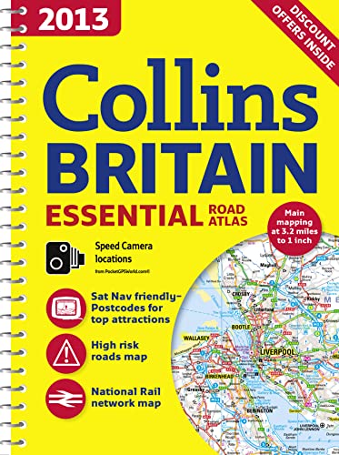
2013 Collins Britain Essential Road Atlas (International Road Atlases)
Published by
HarperCollins UK
(2012)
ISBN 10: 000746861X
ISBN 13: 9780007468614
New
Spiral-bound
Quantity: 1
Seller:
Rating
Book Description Spiral-bound. Condition: New. Seller Inventory # DADAX000746861X
Buy New
� 39.06
Convert currency
Stock Image
2013 Collins Britain Essential Road Atlas (International Road Atlases)
Published by
HarperCollins UK
(2012)
ISBN 10: 000746861X
ISBN 13: 9780007468614
New
Spiral-bound
Quantity: 1
Seller:
Rating
Book Description Spiral-bound. Condition: New. New. book. Seller Inventory # ERICA791000746861X6
Buy New
� 105
Convert currency