Items related to 2011 Collins Essential Road Atlas Europe

A4 format
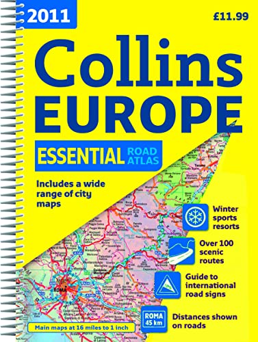
Scale 1:1 000 000 (1 cm to 10 kms / 1 inch to 16 miles)
A fully revised edition of A4 spiral road atlas containing road mapping, route planning maps, larger scale road maps of the Ruhr and Rhine, city through route maps, city centre plans and a comprehensive place names index.
MAIN FEATURES
Clear, easy to follow road maps at a scale of 1:1 000 000. Euroroutes and motorways are easily distinguished on the mapping. The maps also show international road classifications, road distances in kilometres and relief is shown by attractive layer tints.
INCLUDES
� Route planning maps
� A range of route maps of major cities:
� A selection of centre street plans of major cities.
Also includes larger scale road mapping extending from Amsterdam to Munich and making route following easier through this densely populated area.
NEW FOR 2011
� Additional places of tourist interest including all European world heritage sites.
� Locator diagrams on each page to help you navigate.
� Increased map coverage in eastern Europe to cover Belarus and the Ukraine.
WHO THE PRODUCT IS OF INTEREST TO
Motorists planning a journey in Europe and for use en route.
"synopsis" may belong to another edition of this title.
- PublisherCollins
- Publication date2010
- ISBN 10 0007364121
- ISBN 13 9780007364121
- BindingSpiral-bound
- Number of pages294
- Rating
Top Search Results from the AbeBooks Marketplace

Stock Image
2011 Collins Essential Road Atlas Europe
Published by
Collins Geo
(2010)
ISBN 10: 0007364121
ISBN 13: 9780007364121
Used
Paperback
Quantity: 1
Seller:
Rating
Book Description Paperback. Condition: Fair. A readable copy of the book which may include some defects such as highlighting and notes. Cover and pages may be creased and show discolouration. Seller Inventory # GOR009442811
Buy Used
� 9.24
Convert currency
Stock Image
2011 Collins Essential Road Atlas Europe
Published by
Collins Geo
(2010)
ISBN 10: 0007364121
ISBN 13: 9780007364121
Used
Paperback
Quantity: 2
Seller:
Rating
Book Description Paperback. Condition: Very Good. The book has been read, but is in excellent condition. Pages are intact and not marred by notes or highlighting. The spine remains undamaged. Seller Inventory # GOR004117346
Buy Used
� 9.24
Convert currency