Items related to Easy Route Planning Map France
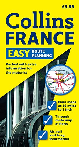

Fully revised edition of easy-to-use route planning map of France. Covering all of the French mainland and including Corsica, the map also contains a distance chart and larger scale map of Greater Paris. Scale 1:1 000 000; 1cm to 10 km; 1 inch to 16 miles
"synopsis" may belong to another edition of this title.
Synopsis:
Fully revised edition of easy-to-use route planning map of France. Covering all of the French mainland and including Corsica, the map also contains a distance chart and larger scale map of Greater Paris. Scale 1:1 000 000; 1cm to 10 km; 1 inch to 16 miles AREA OF COVERAGE The map extends from the Belgium border in the north to the Spanish border in the south and from the Brest peninsula and the Bay of Biscay in the west to the German, Italian and Swiss borders in the east. The island of Corsica is also included as an inset. MAP DETAIL For ease of use and interpretation the map shows only Autoroutes (motorways) and main roads, ferry links, TGV lines (high speed rail routes) and the main cities and towns. Autoroute junctions and all roads are clearly numbered. All cities, main towns and strategic towns and villages are also included. Road distances are shown in kilometres. INCLUDES Large scale map of Greater Paris highlighting the Peripherique and the Francillienne routes avoiding the city centre. Distance chart indicating in kilometres the distance between major route centres.Reverse of map sheet contains a comprehensive index to all names appearing on the map and information on the following:- Cross-Channel ferry routes and operators, Channel Tunnel contact information, Motorail, Airlines, Toll Routes and driving regulations.In addition there are large scale plans of the Folkestone and Coquelles Channel Tunnel terminals, and a map highlighting the political divisions of Regions and Departements. WHO THE PRODUCT IS OF INTEREST TO Motorist wishing to plan a journey through France using the most direct route. Also useful for home and office reference.
"About this title" may belong to another edition of this title.
- PublisherCollins
- Publication date2009
- ISBN 10 0007293208
- ISBN 13 9780007293209
- BindingMap
Top Search Results from the AbeBooks Marketplace

Stock Image
Easy Route Planning Map France
Seller:
Rating
Book Description Paperback. Condition: Very Good. The book has been read, but is in excellent condition. Pages are intact and not marred by notes or highlighting. The spine remains undamaged. Seller Inventory # GOR002360150
Buy Used
� 2.80
Convert currency
Stock Image
Easy Route Planning Map France
Seller:
Rating
Book Description Paperback. Condition: Good. The book has been read but remains in clean condition. All pages are intact and the cover is intact. Some minor wear to the spine. Seller Inventory # GOR003519130
Buy Used
� 2.80
Convert currency