Items related to 2009 Map of France (International Road Map)

New edition of annually revised, politically coloured map of France. The ideal map for planning and route-finding.
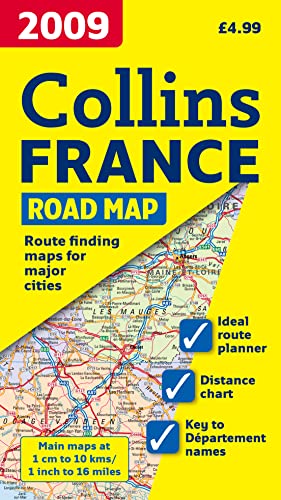
Scale 1 : 1 000000 (1cm to 10 kms / 1 inch to 16miles)
AREA OF COVERAGE
From the Belgian and German borders in the north to the Spanish border in the south, and from the Brest Peninsula in the west to the Italian and Swiss borders in the east. Also includes the island of Corsica.
MAP DETAIL
Politically coloured mapping showing individual D�partements by name. Motorways, roads, airports, cities and towns. Motorways and Euroroutes numbered.
INCLUDES
� Through-route map of Paris, Lyon, Marseille, Strasbourg, and Toulouse
� Distance chart giving distances in kilometres between main towns
� Key to D�partement names and numbers, and list of Regions
� Internet links to further information
� Map legend in English, French and German
� Index to place names
WHO THE PRODUCT IS AIMED AT
Home and business reference users.
"synopsis" may belong to another edition of this title.
- PublisherCollins
- Publication date2008
- ISBN 10 0007285078
- ISBN 13 9780007285075
- BindingMap
(No Available Copies)
Search Books: Create a WantIf you know the book but cannot find it on AbeBooks, we can automatically search for it on your behalf as new inventory is added. If it is added to AbeBooks by one of our member booksellers, we will notify you!
Create a Want