Items related to 2010 Collins Map of Britain
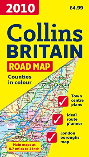

Full colour double-sided map of Great Britain at 9 miles to 1 inch (1:550,000 approx.) with clear, detailed road network and administrative areas shown in colour. MAIN FEATURES This popular map has clear political colouring with counties and unitary authorities shown in colour as well as showing a detailed road network. In addition to this it has 16 city/town centre street plans. INCLUDES / Index to place names. / Mileage chart. / Key in English, French and German. AREA OF COVERAGE Double-sided map covering the whole of Britain. Northern England and Scotland are on one side with Southern England and Wales on the other. WHO THE PRODUCT IS OF INTEREST TO This is a general purpose map of interest to both business users and for those touring the country. It has a particular emphasis on political features and can be used as a reference map and a route planning map.
"synopsis" may belong to another edition of this title.
Product Description:
Full colour double-sided map of Great Britain at 9 miles to 1 inch (1:550,000 approx.) with clear, detailed road network and administrative areas shown in colour.
"About this title" may belong to another edition of this title.
- PublisherCollins
- Publication date2009
- ISBN 10 0007285043
- ISBN 13 9780007285044
- BindingMap
(No Available Copies)
Search Books: Create a WantIf you know the book but cannot find it on AbeBooks, we can automatically search for it on your behalf as new inventory is added. If it is added to AbeBooks by one of our member booksellers, we will notify you!
Create a Want