Items related to 2009 Map of Scotland
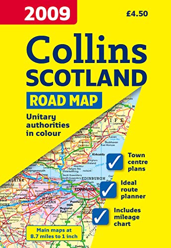

Full colour map of Scotland at 8.7 miles to 1 inch with clear, detailed road network, a selection of town plans and administrative areas clearly shown.
This popular map of Scotland has a clear road network laid over a backdrop clearly showing the administrative areas.
The map includes:
� A road map of Scotland at 8.7 miles to 1 inch with administrative areas clearly shown.
� 7 street maps of major towns focussing on the town centres and showing places of interest, car park locations and one-way streets.
� Distance chart highlighting distances between major towns throughout Britain.
� The key to symbols is in English, French and German.
� Index to settlements.
This is a general purpose map and is of interest to both business users and for those touring the country. It has a particular emphasis on political features and can be used as a reference map and a route planning map.
"synopsis" may belong to another edition of this title.
- PublisherCollins
- Publication date2008
- ISBN 10 0007272502
- ISBN 13 9780007272501
- BindingMap
(No Available Copies)
Search Books: Create a WantIf you know the book but cannot find it on AbeBooks, we can automatically search for it on your behalf as new inventory is added. If it is added to AbeBooks by one of our member booksellers, we will notify you!
Create a Want