Items related to Discovering London: The Illustrated Map

Scale: 1:8,250 (7.5 inches to 1 mile).
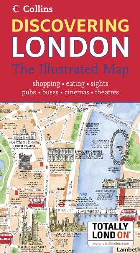
London has a vast array of museums, galleries and other attractions.
This hand-watercoloured map contains individual paintings of all the main sites and landmarks, shop-by-shop street maps, theatres and cinemas, comprehensive travel information and index.
This attractive, fact-filled map includes:
Railway stations, bus routes, London underground map, taxi ranks and car parks.
Shop-by-shop street maps for Oxford Street, Bond Street, Covent Garden, Portobello Road, King’s Road, Brompton Cross, Exmouth Market, Beauchamp Place, St. Christopher’s Place and South Molton Street, Knightsbridge, Jermyn Street and Kensington.
London’s theatres and cinemas.
Places to eat, internet caf�s and good places for a picnic.
An inset map of the City of London.
Comprehensive index.
Historical and contemporary anecdotes.
OTHER TITLES IN THE SERIES
Discovering Edinburgh
Discovering Dublin
"synopsis" may belong to another edition of this title.
Synopsis:
London has a vast array of museums, galleries and other attractions. This hand-watercoloured map contains individual paintings of all the main sites and landmarks, shop-by-shop street maps, theatres and cinemas, comprehensive travel information and index. This attractive, fact-filled map includes: railway stations, bus routes, London underground map, taxi ranks and car parks. It also contains shop-by-shop street maps for Oxford Street, Bond Street, Covent Garden, Portobello Road, King's Road, Brompton Cross, Exmouth Market, Beauchamp Place, Knightsbridge, Jermyn Street and Kensington. It covers London's theatres and cinemas, places to eat, internet cafes and good places for a picnic. It is an inset map of the city of London. It has a comprehensive index and historical and contemporary anecdotes. Other titles in the series include: "Discovering Edinburgh" and "Discovering Dublin".
"About this title" may belong to another edition of this title.
- PublisherCollins
- Publication date2007
- ISBN 10 0007232942
- ISBN 13 9780007232949
- BindingMap
(No Available Copies)
Search Books: Create a WantIf you know the book but cannot find it on AbeBooks, we can automatically search for it on your behalf as new inventory is added. If it is added to AbeBooks by one of our member booksellers, we will notify you!
Create a Want