Items related to 2006 Map of Ireland
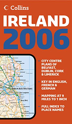

9 miles to 1 inch 1:570,240. Full colour map of Ireland with road network and counties clearly shown and city centre maps of Dublin and Belfast.
MAIN FEATURES
� Counties shown in colour
� City centre plans of Dublin and Belfast
� Mapping at 9 miles to 1 inch showing road network
INCLUDES
� Places of tourist interest
� Railway stations, airports and car ferry routes
� Rivers, lakes and spot heights
AREA OF COVERAGE
Covers the whole of the Republic of Ireland and Northern Ireland. Includes city centre plans of Dublin and Belfast.
WHO THE PRODUCT IS OF INTEREST TO
This is a general purpose map but with a particular emphasis on political features. It can be used as a reference map and a route planning map.
"synopsis" may belong to another edition of this title.
- PublisherCollins
- Publication date2005
- ISBN 10 0007200013
- ISBN 13 9780007200016
- BindingMap
Top Search Results from the AbeBooks Marketplace

Seller Image
2006 Map of Ireland
Seller:
Rating
Book Description Condition: Good. Most items will be dispatched the same or the next working day. A copy that has been read but remains in clean condition. All of the pages are intact and the cover is intact and the spine may show signs of wear. The book may have minor markings which are not specifically mentioned. Seller Inventory # wbb0025211817
Buy Used
� 1.70
Convert currency