Items related to Belfast Streetfinder Colour Atlas
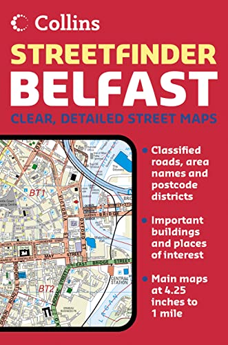

4.25 inches to 1 mile. Handy atlas in full colour with clear street level mapping.
MAIN FEATURES
Street atlas covering an extensive area of Greater Belfast with clear, concise full colour mapping and full index to street names.
INCLUDES
� Route planning road map of the area around Belfast
� Colour classified roads and streets
� Important buildings and places of interest
� Car Parks & railway stations
AREA OF COVERAGE
Extends from Ladybrook in the west, to Holywood in the east and from Belfast Castle in the north to Newtownbreda in the south.
WHO PRODUCT IS OF INTEREST TO
Ideal for businesses, residents and visitors with its large area of coverage and high level of detail.
"synopsis" may belong to another edition of this title.
- PublisherCollins
- Publication date2005
- ISBN 10 0007191936
- ISBN 13 9780007191932
- BindingPaperback
- Number of pages48
Other Popular Editions of the Same Title
Top Search Results from the AbeBooks Marketplace

Stock Image
Belfast Streetfinder Colour Atlas
Published by
HarperCollins UK
(2005)
ISBN 10: 0007191936
ISBN 13: 9780007191932
Used
Paperback
Quantity: 1
Seller:
Rating
Book Description Paperback. Condition: Good. The book has been read but remains in clean condition. All pages are intact and the cover is intact. Some minor wear to the spine. Seller Inventory # GOR002857370
Buy Used
� 4.02
Convert currency
Stock Image
Belfast Streetfinder Colour Atlas (Street Atlas)
Seller:
Rating
Book Description Paperback. Condition: Very Good. Belfast Streetfinder Colour Atlas (Street Atlas) This book is in very good condition and will be shipped within 24 hours of ordering. The cover may have some limited signs of wear but the pages are clean, intact and the spine remains undamaged. This book has clearly been well maintained and looked after thus far. Money back guarantee if you are not satisfied. See all our books here, order more than 1 book and get discounted shipping. Seller Inventory # 7719-9780007191932
Buy Used
� 5.68
Convert currency
Stock Image
Belfast Streetfinder Colour Atlas (Street Atlas)
Seller:
Rating
Book Description Paperback. Condition: Very Good. This book is in very good condition and will be shipped within 24 hours of ordering. The cover may have some limited signs of wear but the pages are clean, intact and the spine remains undamaged. This book has clearly been well maintained and looked after thus far. Money back guarantee if you are not satisfied. See all our books here, order more than 1 book and get discounted shipping. Seller Inventory # 6545-9780007191932
Buy Used
� 5.68
Convert currency