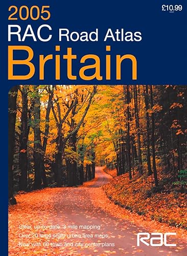
Items related to RAC Road Atlas Britain

Floppy format road atlas with detailed 3 mile to 1 inch mapping. The atlas also contains a wide range of urban maps at 1 inch to 1 mile plus town and city centre street maps.
MAIN FEATURES
Floppy format RAC Road Atlas of Britain with mapping at various scales to aid route planning. With lie-flat spiral binding.
INCLUDES
· Park & Ride locations shown for major cities and towns
· Route planning maps & limited access junction information
· Main map section covering the whole of Britain
· Full London planning and detail section
· 21 urban area maps at 1 inch to 1 mile
· Comprehensive selection of town and city centre maps
· Full index to place names and places of interest
· Ireland at 25 miles to 1 inch
AREA OF COVERAGE
The whole of Britain with a route planning map of Ireland.
WHO THE PRODUCT IS OF INTEREST TO
Any driver of any vehicle who requires the latest information, the most complete coverage and the clearest detail in a road atlas.
"synopsis" may belong to another edition of this title.
- PublisherCollins
- Publication date2004
- ISBN 10 0007184344
- ISBN 13 9780007184347
- BindingSpiral-bound
- Number of pages184
(No Available Copies)
Search Books: Create a WantIf you know the book but cannot find it on AbeBooks, we can automatically search for it on your behalf as new inventory is added. If it is added to AbeBooks by one of our member booksellers, we will notify you!
Create a Want