Items related to New York: The Photographic Atlas

The largest-scale, most revealing view of New York ever published, covering all five boroughs and beyond.
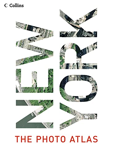
NEW YORK: THE PHOTOGRAPHIC ATLAS combines the vertical aerial photography of Getmapping.com with American Map street mapping – an unbeatable combination of photography and cartography.
If you know New York well, you will already possess a personal stake in this book – within its pages you will be able to find familiar landmarks, trace a route around Central Park, visit some of your favourite shops, locate the homes of friends and family. On closer inspection you will spot patterns that are invisible from the ground, discover surprising links between unconnected areas, find large areas of greenery that you never knew existed, and explore new neighbourhoods for the first time. Even if you don’t know New York well, you will find this book utterly fascinating.
The photographic atlas is easy to use. The photography and the cartography share the same standard grid system, meaning you can cross-reference quickly between the two elements. And the scope of the book means that no part of New York and its five boroughs – and slightly beyond – is left unexplored. Manhattan, Brooklyn, Queens, Staten Island and the Bronx are of course included, but the atlas goes beyond to cover a substantial strip of the New Jersey coastline, and from Yonkers in the north to Long Beach in the south. Once they have it in the hand, the many lovers of New York all over the world will be incapable of putting this extraordinary and compelling book down.
"synopsis" may belong to another edition of this title.
About the Author:
Getmapping.com plc was established in 1998 specifically to produce the first ever complete, full-colour, digital, photographic map of the UK. Since then, the company has expanded its activities internationally and carries out high-quality aerial photography in various countries, available to both the professional user and the general public.
"About this title" may belong to another edition of this title.
- PublisherCollins
- Publication date2004
- ISBN 10 0007177038
- ISBN 13 9780007177035
- BindingHardcover
- Number of pages400
Top Search Results from the AbeBooks Marketplace

Seller Image
New York: The Photographic Atlas (Www.Getmapping.Com)
Seller:
Rating
Book Description Condition: Good. Most items will be dispatched the same or the next working day. A copy that has been read but remains in clean condition. All of the pages are intact and the cover is intact and the spine may show signs of wear. The book may have minor markings which are not specifically mentioned. Seller Inventory # wbb0023964262
Buy Used
� 12.35
Convert currency