Items related to M25 London Master Street Atlas (Collins street atlas)

1:20,000 3.2 inches to 1 mile, 1:10,000 6.3 inches to 1 mile Attractive atlas using the Bartholomew digital database mapping covering the whole of the M25 area. A huge amount of detail is included with a high level of clarity.
MAIN FEATURES
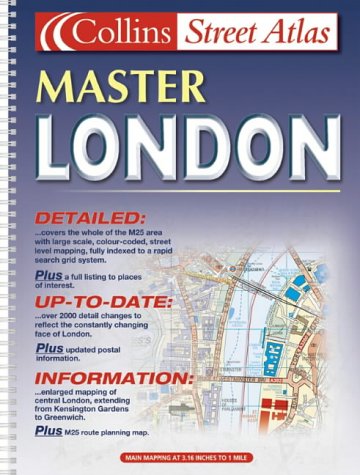
Detailed street atlas covering the whole of the M25 London Orbital Motorway area at 3.2 inches to 1 mile. There is an extended area of Central London stretching from Kensington Gardens to Greenwich at the extra large scale of 6.3 inches to 1 inch.
INCLUDES
� Colour classified roads and buildings
� Postal district boundaries
� Car parks, hospitals and police stations
� Places of interest
AREA OF COVERAGE
Extends from Brookmans Park in the north to Redhill in the south and from Slough in the west to Gravesend in the east.
WHO THE PRODUCT IS AIMED AT
Especially designed for the local resident and business professional alike. It has a wealth of detail but retains its clarity. It has a fine grid system making it extremely easy to use.
"synopsis" may belong to another edition of this title.
Synopsis:
This detailed street atlas covers the whole of the M25 London Orbital Motorway area at 3.2 inches to 1 mile. There is an extended area of Central London stretching from Kensington Gardens to Greenwich at the extra large scale of 6.3 inches to 1 inch.
"About this title" may belong to another edition of this title.
- PublisherCollins
- Publication date2001
- ISBN 10 0007115849
- ISBN 13 9780007115846
- BindingSpiral-bound
- Number of pages352
Top Search Results from the AbeBooks Marketplace

Seller Image
M25 London Master Street Atlas (Collins street atlas)
Seller:
Rating
Book Description Condition: Good. Most items will be dispatched the same or the next working day. Seller Inventory # wbb0022596961
Buy Used
� 12.07
Convert currency