Items related to Windsor and Slough Town Atlas (Town and Country)

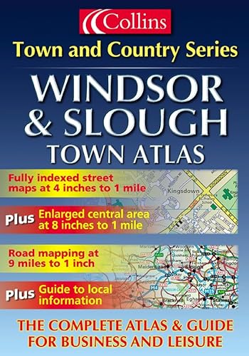
Scale: 4 inches to 1 mile. Brand new detailed street level mapping in full colour. The central areas of Slough and Windsor are shown at the extra large scale of 8 inches to 1 mile for extra clarity.
MAIN FEATURES
One of a series of brand new full colour atlases featuring detailed, colourful mapping. The main maps are at 4 inches to 1 mile and the central areas are at 8 inches to 1 mile. For route planning in and around the area covered by the atlas, 9 mile to 1 inch mapping has been included.
INCLUDES
· large scale town centre street level mapping, fully indexed
· local information section with important contacts and detail
· road mapping at 9 miles to 1 inch, centred on the town
· enlarged central areas at 8 inches to 1 mile
AREA OF COVERAGE
Extends from Farnham Royal in the north to Old Windsor in the south and from Taplow in the west to Colnbrook in the east.
"synopsis" may belong to another edition of this title.
"About this title" may belong to another edition of this title.
- PublisherCollins
- Publication date2001
- ISBN 10 0007110499
- ISBN 13 9780007110490
- BindingPaperback
- Number of pages40
(No Available Copies)
Search Books: Create a WantIf you know the book but cannot find it on AbeBooks, we can automatically search for it on your behalf as new inventory is added. If it is added to AbeBooks by one of our member booksellers, we will notify you!
Create a Want