Items related to Road Map Great Britain and Ireland: Sheet 6 –...
Road Map Great Britain and Ireland: Sheet 6 – Ireland (Great Britain and Ireland Road Map) - Softcover
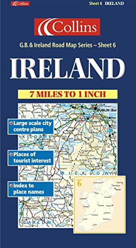

1:440,000 7.2 miles to 1 inch. The Ireland sheet of a 6 sheet series of the British Isles. This sheet covers the whole of Ireland. Updated for 2001.
MAIN FEATURES
� Exceptionally clear Collins mapping with layer colouring
� Clear, colourful mapping at 7.2 miles to 1 inch
� Centre plans of Dublin, Belfast, Cork and Limerick
� Full index to place names
� All roads colour classified
INCLUDES
� Places of tourist information included
� Ferry routes & airports shown
� Distances shown on roads
AREA OF COVERAGE
Covers the whole of Ireland
WHO THE PRODUCT IS AIMED AT
This map is ideal for wall mounting or for use in the vehicle and is suitable for both business or pleasure motoring.
"synopsis" may belong to another edition of this title.
From the Back Cover:
Synopsis:
MAIN FEATURES
�
Exceptionally clear Collins mapping with layer colouring
�
Clear, colourful mapping at 7.2 miles to 1 inch
�
Centre plans of Dublin, Belfast, Cork and Limerick
�
Full index to place names
�
All roads colour classified
INCLUDES
�
Places of tourist information included
�
Ferry routes & airports shown
�
Distances shown on roads
AREA OF COVERAGE
Covers the whole of Ireland
WHO THE PRODUCT IS AIMED AT
This map is ideal for wall mounting or for use in the vehicle and is suitable for both business or pleasure motoring.
This map centre plans of Dublin, Belfast, Cork and Limerick and a full index to place names. All roads are colour classified and places of tourist information are included.
"About this title" may belong to another edition of this title.
- PublisherCollins
- Publication date2000
- ISBN 10 0004489845
- ISBN 13 9780004489841
- BindingPaperback
Top Search Results from the AbeBooks Marketplace

Stock Image
Road Map Great Britain and Ireland: Sheet 6 â� � Ireland (Great Britain and Ireland Road Map)
Published by
HarperCollins Publishers, United Kingdom, London
(2000)
ISBN 10: 0004489845
ISBN 13: 9780004489841
Used
Paperback
Quantity: 2
Seller:
Rating
Book Description Paperback. Condition: Very Good. 1:440,000 7.2 miles to 1 inch. The Ireland sheet of a 6 sheet series of the British Isles. This sheet covers the whole of Ireland. Updated for 2001. MAIN FEATURES * Exceptionally clear Collins mapping with layer colouring * Clear, colourful mapping at 7.2 miles to 1 inch * Centre plans of Dublin, Belfast, Cork and Limerick * Full index to place names * All roads colour classified INCLUDES * Places of tourist information included * Ferry routes & airports shown * Distances shown on roads AREA OF COVERAGE Covers the whole of Ireland WHO THE PRODUCT IS AIMED AT This map is ideal for wall mounting or for use in the vehicle and is suitable for both business or pleasure motoring. The book has been read, but is in excellent condition. Pages are intact and not marred by notes or highlighting. The spine remains undamaged. Seller Inventory # GOR001475060
Buy Used
� 5.56
Convert currency