Items related to Greater London Street Atlas
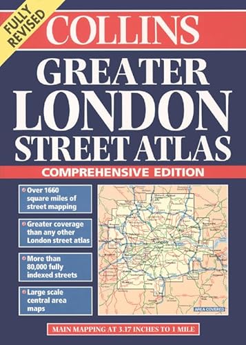

1:10,000 Central area 1:20,000 Main area 1:50,000 Urban maps 1:125,000 Route Planning maps This title has the greatest area of coverage of any London atlas.
MAIN FEATURES
� Thousands of updates in this fully revised edition
� Largest area of coverage of any London Street Atlas in a popular A4 format
� Area of over 4,300 km square covered by main street mapping
� Mapping at four main scales ranging from route planning maps to large scale central area maps
INCLUDES
� Theatres, cinemas, shopping and underground maps
� Full index to street names and places of interest
� Colour coded roads, buildings and land use
AREA OF COVERAGE
Extends from Welwyn Garden City in the north to Gatwick Airport in the south and from Windsor in the west to Gravesend in the east.
WHO THE PRODUCT IS AIMED AT
This is the definitive reference atlas for London and the surrounding area.
OTHER PRODUCTS IN THE SERIES
This product can also be purchased as a hardback edition – 0 00 448806 7.
"synopsis" may belong to another edition of this title.
From the Back Cover:
With the largest area of coverage of any London street atlas and numerous categories of information, this atlas can truly be called ‘comprehensive'. The mapping is exceptionally clear, plus there are special sections for London approach roads, airport plans, plus an index to over 75,000 entries.
� The favoured mapping of London's Metropolitan Police Force, emergency services and taxi-drivers.
"About this title" may belong to another edition of this title.
- PublisherCollins
- Publication date2007
- ISBN 10 0004488075
- ISBN 13 9780004488073
- BindingPaperback
- Number of pages432
Other Popular Editions of the Same Title
Top Search Results from the AbeBooks Marketplace

Seller Image
Greater London Street Atlas
Seller:
Rating
Book Description Condition: Good. Most items will be dispatched the same or the next working day. Minor shelf wear. Seller Inventory # wbb0022266425
Buy Used
� 14.19
Convert currency