Items related to Master Street Atlas of London
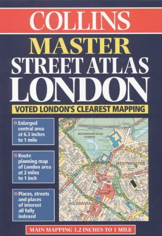

1:20,000 approx 3.17 inches to 1 mile Extemely clear full colour mapping, with central London at extra large scale.
MAIN FEATURES
l Main mapping at 3.17 inches to1 mile
l Enlarged central area at 6.3 inches to 1 mile
l Route planning map of the London area at 2 miles to 1 inch
l Places, streets and places of interest all fully indexed
INCLUDES
l Colour classified roads and buildings
l Postal district boundaries
l Car parks, hospitals and police stations
l Places of interest
AREA OF COVERAGE
Extends from Brookmans Park in the north to Leatherhead in the south and from Staines in the west to Rainham in the east.
WHO THE PRODUCT IS AIMED AT
Especially designed for the local resident and business professional alike. It has a wealth of detail but retains its clarity. It has a fine grid system making it extremely easy to use.
OTHER PRODUCTS IN THE SERIES
Collins also sell this title in a paperback cover.
"synopsis" may belong to another edition of this title.
From the Back Cover:
Synopsis:
Attractive A4 atlas with exceptionally clear mapping including central London at an extra large scale. This atlas has a high level of detail and an extensive coverage, from Brookmans Park in the north, to Leatherhead in the south, and Staines in the west to Rainham in the east.
Scale: 1: 10 000 (Central London), 1: 20 000 (Main Map)
With main mapping at 3.2 inches to 1 mile and an enlarged central area at 7.3 inches to 1 mile, this atlas of London contains: colour-classified roads and buildings; postal district boundaries; and places of interest. Streets and places of interest are fully indexed.
"About this title" may belong to another edition of this title.
- PublisherCollins
- Publication date1998
- ISBN 10 0004487915
- ISBN 13 9780004487915
- BindingHardcover
- Number of pages304
- EditorCottingham Mike
(No Available Copies)
Search Books: Create a WantIf you know the book but cannot find it on AbeBooks, we can automatically search for it on your behalf as new inventory is added. If it is added to AbeBooks by one of our member booksellers, we will notify you!
Create a Want