Snowdon (Cassini Old Series Historical Map)

150000 Historical Map. Enhanced reproductions of 19th-century Ordnance Survey maps enlarged, combined and re-projected to match present-day OS Landrangers. Regular publicity in a wide range of national, local ans specialist newspapers and magazines. The publishers have on several occasions helped arrange local publicity linked to a specifiec retailer.
"synopsis" may belong to another edition of this title.
- PublisherCassini Publishing Ltd
- Publication date2006
- ISBN 10 1847360440
- ISBN 13 9781847360441
- BindingMap
- Number of pages1
Buy New
Learn more about this copy
� 3.95
Shipping:
� 8
From United Kingdom to U.S.A.
Top Search Results from the AbeBooks Marketplace
Seller Image
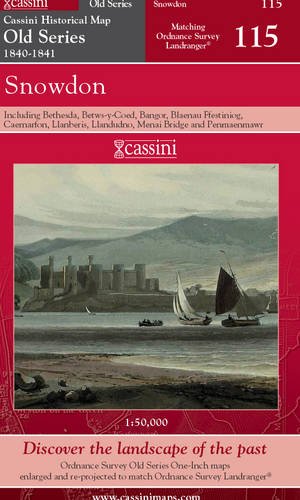
SNOWDON, including Bethesda, Betws-y-Coed, Bangor, Blaenau Ffestiniog, Caernarfon, Llanberis, Llandudno, Menai Bridge and Penmaenmawr. (Cassini Old Series Historical map OSE 115 1840-1841). Matching ORDNANCE SURVEY LANDRANGER No. 115. 1:50,000.
Published by
Cassini Publishing Limited. Southampton, Hampshire. 2006.
(2006)
ISBN 10: 1847360440
ISBN 13: 9781847360441
New
Quantity: 5
Seller:
Rating
Book Description Condition: new. (Map, 2006). (1841) 2006 1st edition thus. Folding map in red card covers. This map includes including Bethesda, Betws-y-Coed, Bangor, Blaenau Ffestiniog, Caernarfon, Llanberis, Llandudno, Menai Bridge and Penmaenmawr, all of the Snowdon area and part of Anglesey. Fine new copy. "The Cassini Old Series provides a fascinating snapshot of the human geography of Britain in the mid-19th century. These maps are taken from the Ordnance Survey One-Inch 'Old Series' sheets, surveyed in 1840 & 1841." The original series of maps were 1" to the mile, and surveyed on a grid different from that employed today. Many of the sheets were printed with four separate copper plates each from separate surveys, the edges of which usually did not quite match. Reprints of all these sheets have been available in recent times. In this new series, however, the 1" maps have been reprojected onto the OS National Grid so that all the edges match up. This makes the whole country into one single sheet from which positions can be read off in National Grid numbers. This single sheet has been redivided, creating new sheets each corresponding precisely to a current Landranger map. The scale is now larger, at 1:50,000. This new series is uniquely useful for exploring the land and accurately pinpointing where things are, or used to be. Uniquely useful for comparisons with current maps on the kitchen table, too. Much to be recommended. PREVIOUS PRICE �9.99. Seller Inventory # 40360
Buy New
� 3.95
Convert currency