2014 Collins Map of Ireland (Collins Road Map)

Full colour map of Ireland at 9 miles to 1 inch (1:570,240), with clear, detailed road network and counties and administrative areas shown in colour. This double-sided map covers the whole of Ireland, and is ideal for reference or route planning.
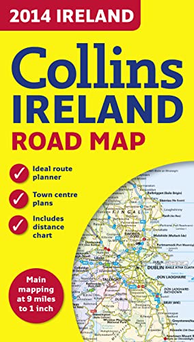
This map of Ireland shows the road network in detail. It is ideal for business users, with its political colouring of local council areas, but it is also perfect for tourists as a route planning map.
MAIN FEATURES
� Fully updated for 2014.
� Administrative areas shown in colour.
� Clear, detailed road network.
� Town and city names, rivers, lakes, spot heights, railway lines and canals are clearly shown.
� City/town centre street plans of Belfast, Cork, Dublin, D�n Laoghaire, Galway, Limerick Londonderry/Derry and Waterford showing places of interest.
� Full index to place names.
� Mileage chart.
� Car ferry routes.
� Key in English, French and German.
AREA OF COVERAGE
Covers the whole of the Republic of Ireland and Northern Ireland.
"synopsis" may belong to another edition of this title.
About the Author:
Explore the world through accurate and up-to-date mapping.
"About this title" may belong to another edition of this title.
- PublisherCollins
- Publication date2013
- ISBN 10 0007497121
- ISBN 13 9780007497126
- BindingMap
(No Available Copies)
Search Books: Create a WantIf you know the book but cannot find it on AbeBooks, we can automatically search for it on your behalf as new inventory is added. If it is added to AbeBooks by one of our member booksellers, we will notify you!
Create a Want