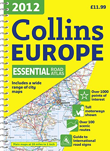
2012 Collins Europe Essential Road Atlas - Softcover

A4 format
Scale 1:1 000 000 (1 cm to 10 kms / 1 inch to 16 miles)
A fully revised edition of A4 spiral road atlas containing road mapping, route planning maps, larger scale road maps of the Ruhr and Rhine, city through route maps, city centre plans and a comprehensive place names index.
MAIN FEATURES
Clear, easy to follow road maps at a scale of 1:1 000 000. Euroroutes and motorways are easily distinguished on the mapping. The maps also show international road classifications, road distances in kilometres and relief is shown by attractive layer tints.
INCLUDES
� Route planning maps
� A range of route maps of major cities:
� A selection of centre street plans of major cities.
Also includes larger scale road mapping extending from Amsterdam to Munich and making route following easier through this densely populated area.
NEW FOR 2011
� Additional places of tourist interest including all European world heritage sites.
� Locator diagrams on each page to help you navigate.
� Increased map coverage in eastern Europe to cover Belarus and the Ukraine.
WHO THE PRODUCT IS OF INTEREST TO
Motorists planning a journey in Europe and for use en route.
"synopsis" may belong to another edition of this title.
- PublisherCollins
- Publication date2011
- ISBN 10 0007438427
- ISBN 13 9780007438426
- BindingSpiral-bound
- Number of pages294
- Rating
(No Available Copies)
Search Books: Create a WantIf you know the book but cannot find it on AbeBooks, we can automatically search for it on your behalf as new inventory is added. If it is added to AbeBooks by one of our member booksellers, we will notify you!
Create a Want