Collins Road Atlas France - Softcover
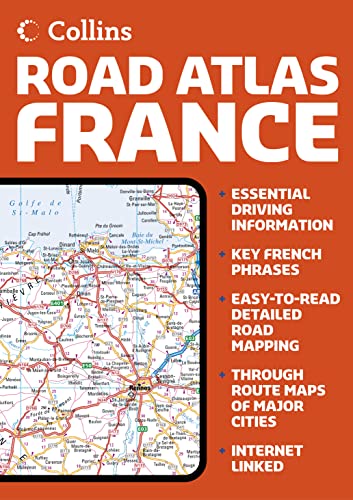

This new road atlas of France in convenient A4 format contains clear, easy-to-read road maps, city through route maps, a comprehensive index to place names plus an essential driving and language survival guide. Scale: 1cm to 7 km or 1 inch to 11 miles
AREA OF COVERAGE
Covering the whole of mainland France from Belgium in the north to the Pyrenees and Spain in the south, from the Bay of Biscay in the west to the Alps in the east, and also including the island of Corsica.
MAP DETAIL
The large-scale, clear, up-to-date road mapping is easy to follow. Euroroutes and motorways (autoroutes), main and secondary roads and selected minor roads are easily distinguished. Road distances are shown in kilometres for added help. Clarity is enhanced by the uncluttered white background.
INCLUDES
An eight page illustrated section with information on driving in France, road signs and emergency procedures. In addition there are examples of key phrases that will help in achieving hassle-free motoring in France. There are also detailed through route maps of Paris, Lyon, Marseille, Strasbourg and Toulouse. A comprehensive place-name index completes the content.
WHO THE PRODUCT IS AIMED AT
Ideal for motorists either planning a holiday in France or for using en route.
OTHER PRODUCTS
Collins Road Atlas Italy
Collins Road Atlas Spain & Portugal
Collins Route Planning Map of France
Collins Road Map France
"synopsis" may belong to another edition of this title.
Synopsis:
This new road atlas of France in convenient A4 format contains clear, easy-to-read road maps, city through route maps, a comprehensive index to place names plus an essential driving and language survival guide. It is on the scale: 1cm to 7 km or 1 inch to 11 miles. Area of coverage: Covering the whole of mainland France from Belgium in the north to the Pyrenees and Spain in the south, from the Bay of Biscay in the west to the Alps in the east, and also including the island of Corsica. Map detail: The large-scale, clear, up-to-date road mapping is easy to follow. Euro-routes and motorways (auto-routes), main and secondary roads and selected minor roads are easily distinguished. Road distances are shown in kilo metres for added help. Clarity is enhanced by the uncluttered white background. It includes an eight page illustrated section with information on driving in France, road signs and emergency procedures. In addition there are examples of key phrases that will help in achieving hassle-free motoring in France. There are also detailed through route maps of Paris, Lyon, Marseille, Strasbourg and Toulouse. A comprehensive place-name index completes the content.Who the product is aimed at: It is ideal for motorists either planning a holiday in France or for using en route.
"About this title" may belong to another edition of this title.
- PublisherCollins
- Publication date2006
- ISBN 10 0007221355
- ISBN 13 9780007221356
- BindingPaperback
- Number of pages72
(No Available Copies)
Search Books: Create a WantIf you know the book but cannot find it on AbeBooks, we can automatically search for it on your behalf as new inventory is added. If it is added to AbeBooks by one of our member booksellers, we will notify you!
Create a Want