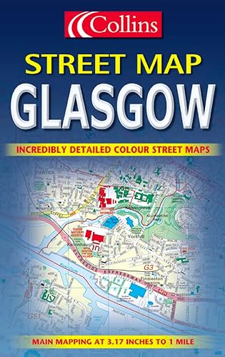
Glasgow Colour Street Map

Central area at 6.3 inches to 1 mile. Surrounding area at 3.15 inches to 1 mile. Full colour street level mapping with index to street names.
MAIN FEATURES
� Officially endorsed street plan
� Clear colourful mapping
� Large scale central area
INCLUDES
� Full colour map detail with Key to Symbols in English, French and German
� Large scale 6 inches to 1 mile central area
� Shows one way streets, pedestrian areas, car parks, station etc.
� All important buildings and places of interest
AREA OF COVERAGE
From Renfrew in the west to Easterhouse in the east and from Bearsden in the north to Clarkston in the south.
WHO THE PRODUCT IS AIMED AT
All visitors, tourist, business people and residents who travel around the city.
"synopsis" may belong to another edition of this title.
Synopsis:
This street plan of Glasgow includes large scale (six inches to one mile) central area mapping. The key to the symbols is in English, French and German. The map shows one-way streets, pedestrian areas, car parks, stations, important buildings and places of interest. The area covered stretches from Renfrew in the west to Motherwell in the east, and from Bearsden in the north to Eastwood in the south. Aimed at all visitors, tourists, business people and residents who travel around the city, this map also includes a host of additional information on hotels and museums. The main map is at the three inches to one mile scale, includes an index of street names and clearly marks both streets and car parks.
From the Back Cover:
3 inches to one mile. Full colour street level mapping with index to street names
MAIN FEATURES
� Officially endorsed street plan
� Clear colourful mapping
� Large scale central area
INCLUDES
� Full colour map detail with Key to Symbols in English, French and German
� Large scale 6 inches to 1 mile central area
� Shows one way streets, pedestrian areas, car parks, station etc.
� All important buildings and places of interest
AREA OF COVERAGE
From Renfrew in the west to Motherwell in the east and from Bearsden in the north to Eastwood in the south.
"About this title" may belong to another edition of this title.
- PublisherCollins
- Publication date2001
- ISBN 10 0004490878
- ISBN 13 9780004490878
- BindingMap
Top Search Results from the AbeBooks Marketplace

Stock Image
Glasgow Colour Street Map
ISBN 10: 0004490878
ISBN 13: 9780004490878
Used
Paperback
Quantity: 4
Seller:
Rating
Book Description Paperback. Condition: Very Good. The book has been read, but is in excellent condition. Pages are intact and not marred by notes or highlighting. The spine remains undamaged. Seller Inventory # GOR002852472
Buy Used
� 1.68
Convert currency
Stock Image
Glasgow Colour Street Map
ISBN 10: 0004490878
ISBN 13: 9780004490878
Used
Paperback
Quantity: 1
Seller:
Rating
Book Description Paperback. Condition: Good. The book has been read but remains in clean condition. All pages are intact and the cover is intact. Some minor wear to the spine. Seller Inventory # GOR002693047
Buy Used
� 1.68
Convert currency